


Shipping:
Free Shipping Included
Delivery:
Estimated 2-15 Business Days
Payments:
Credit Card, Check, Cash, PayPal, Apple Pay, Venmo
Returns:
30 Days 100% Money Back Guarantee, Buyer Pays Return Shipping
Description
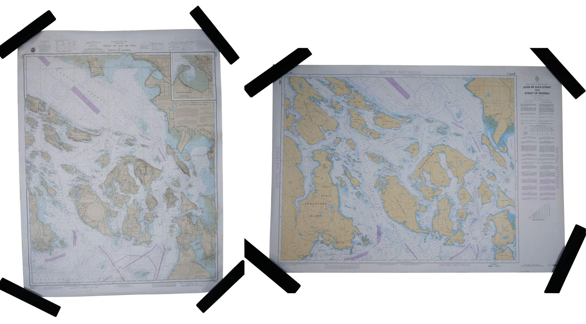
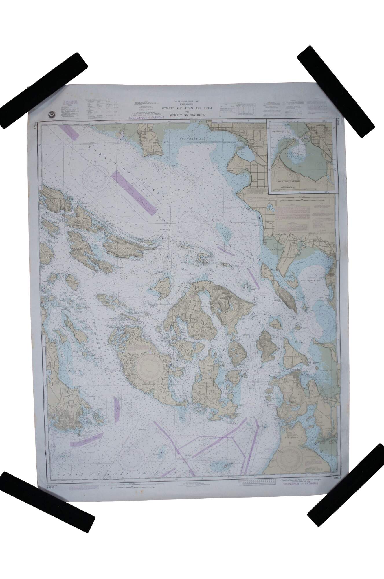
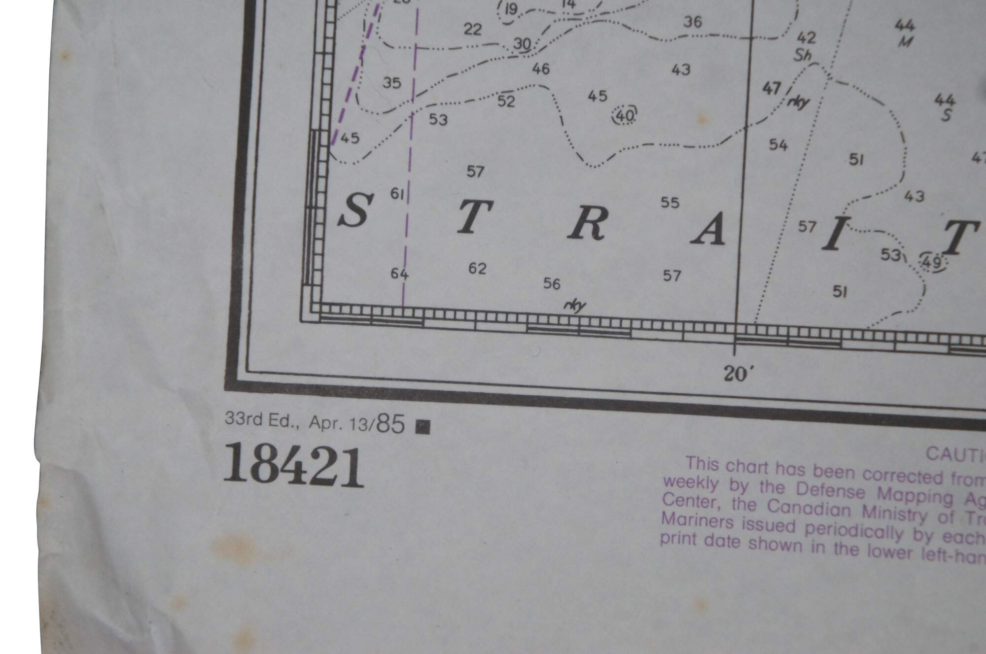
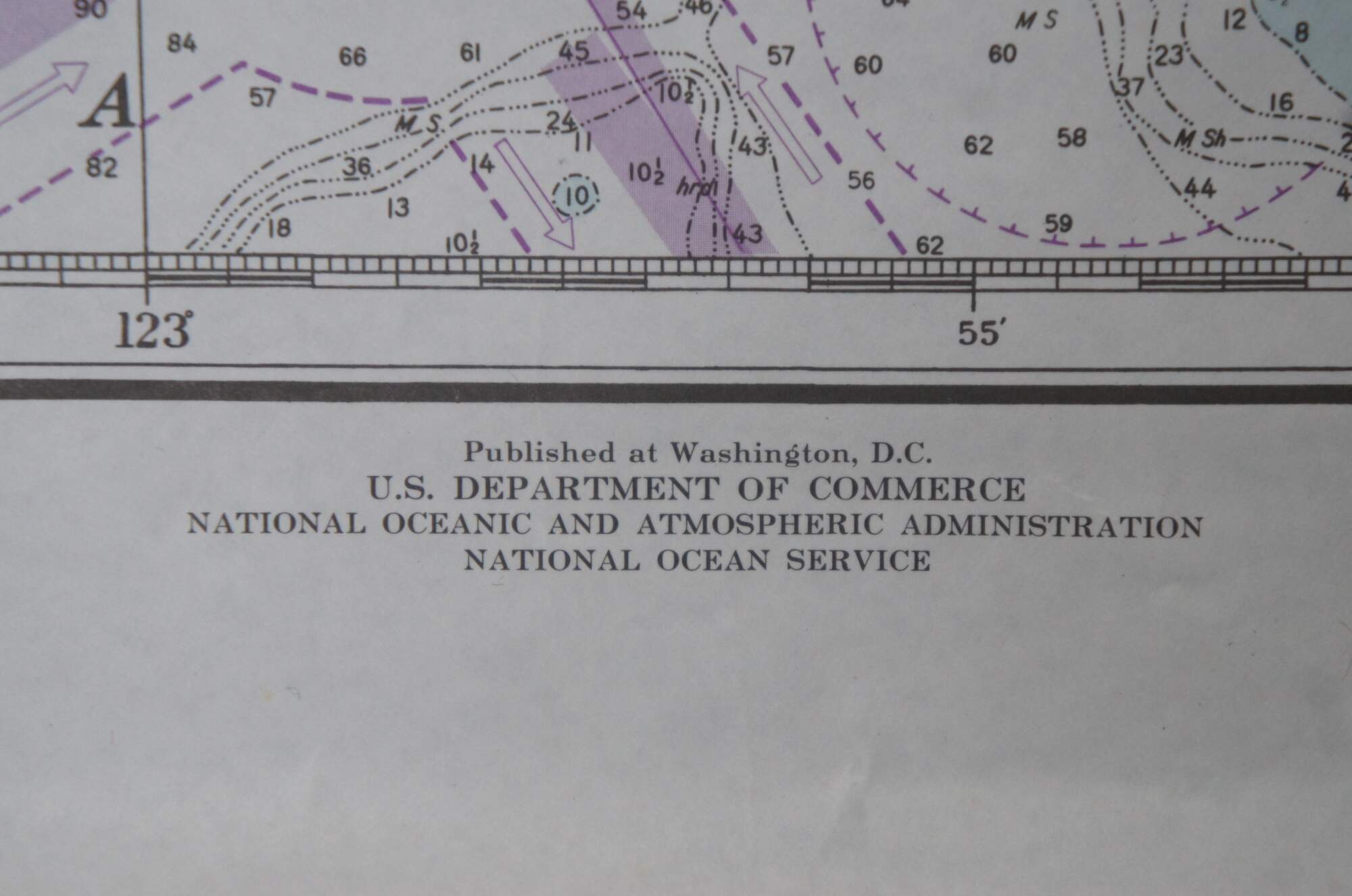
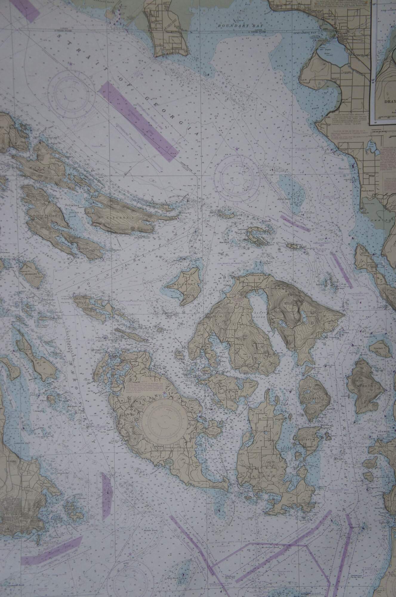
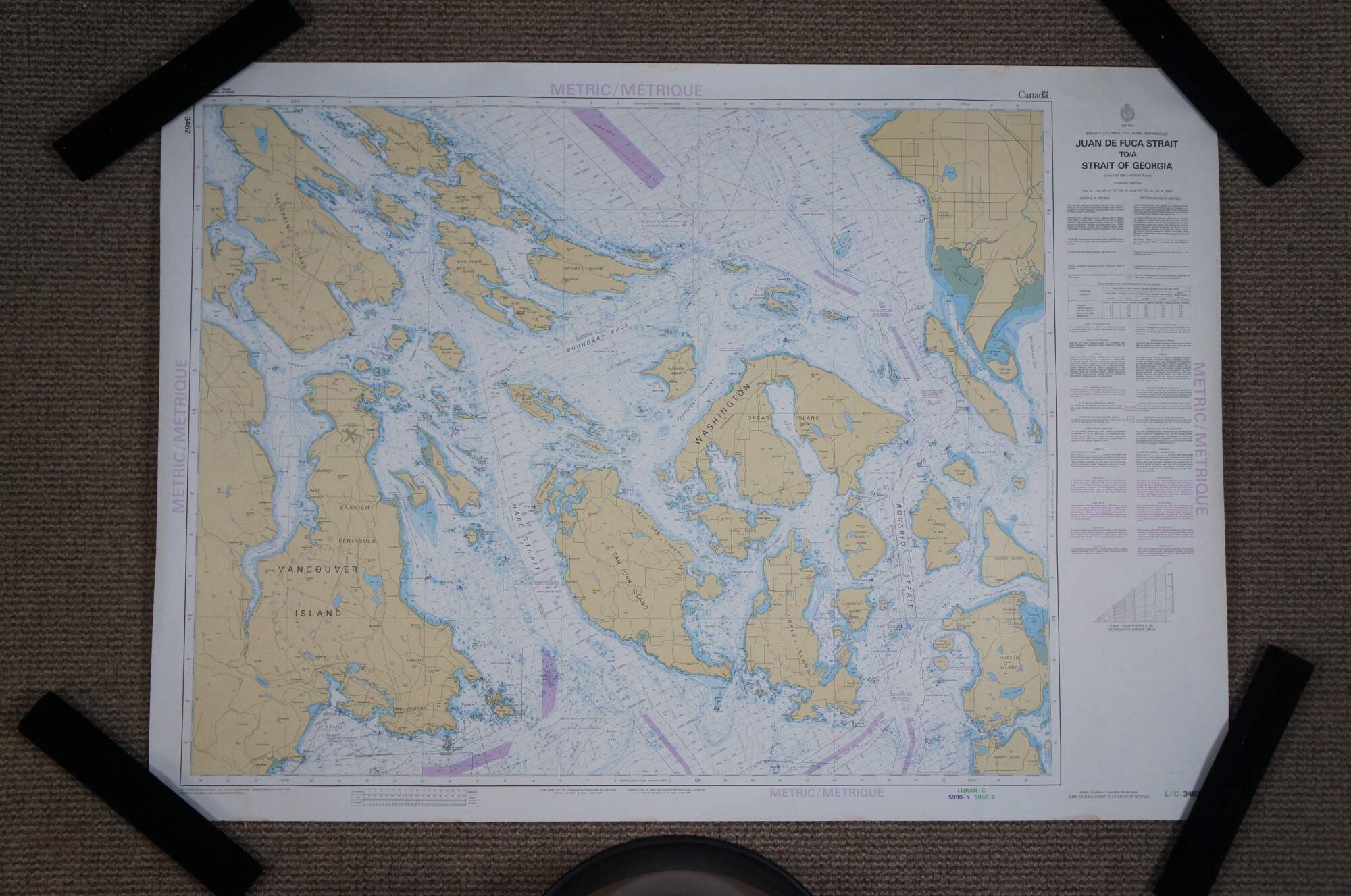
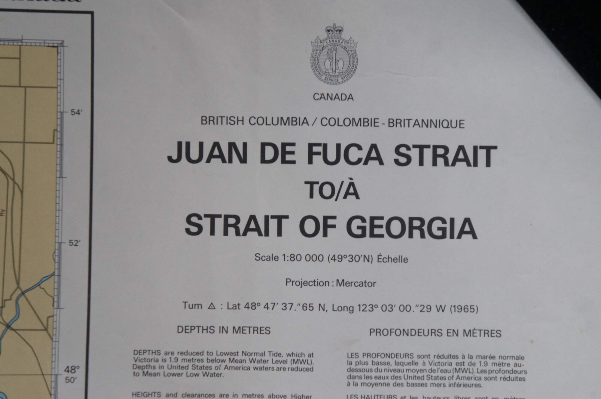
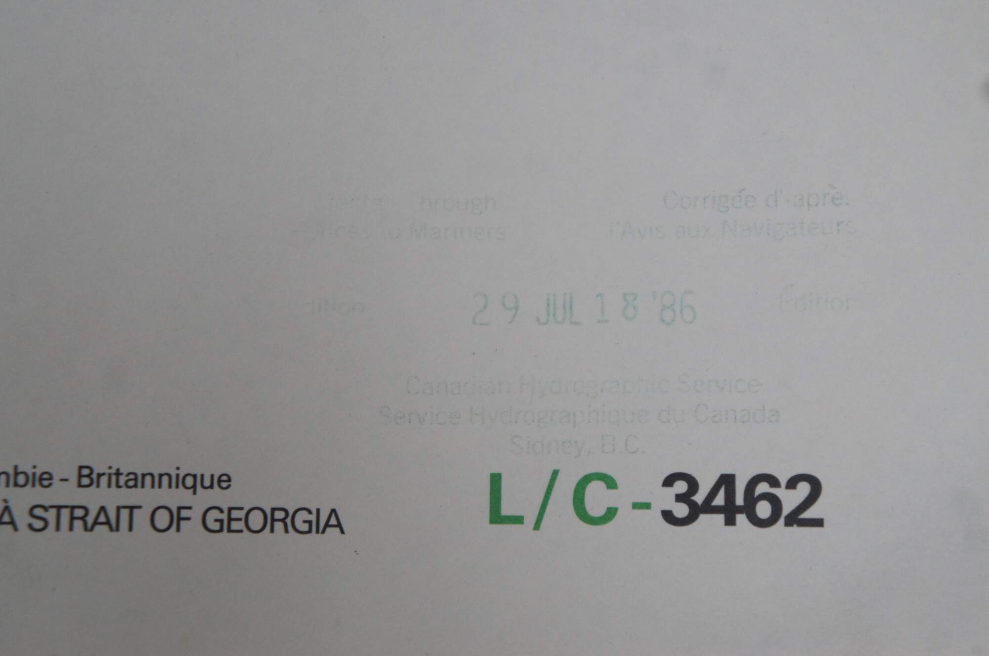
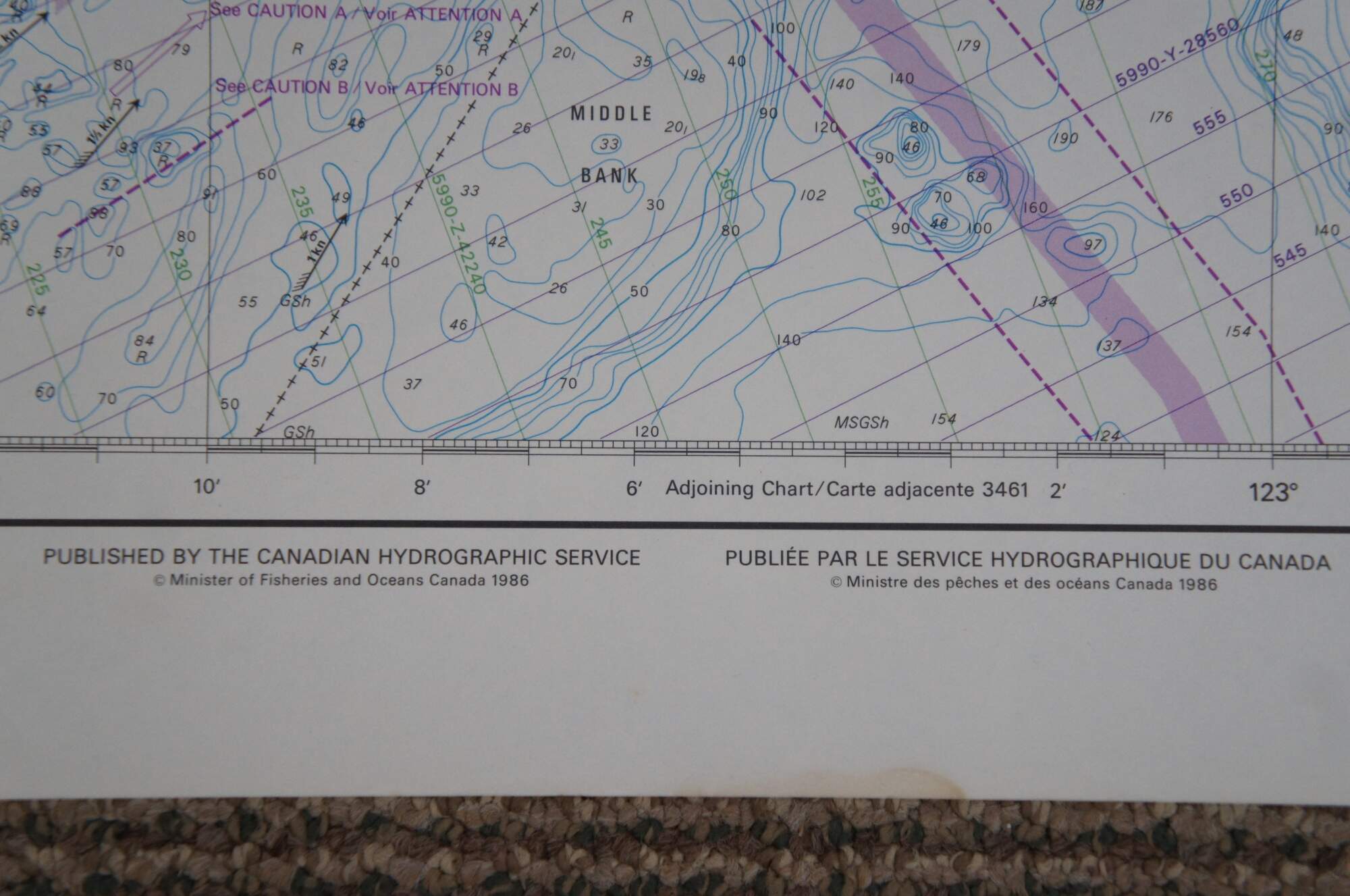
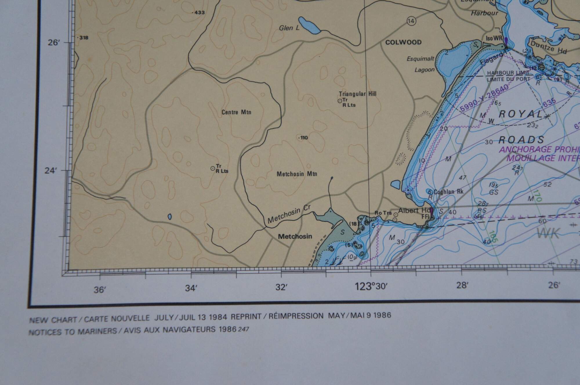
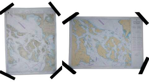
Pair of 1980's topographical / oceanic maps depicting the Straits of Juan de Fuca and Georgia at the border of the Northwest United States and Canada. Map 1: United States - West Coast - Washington - Strait of Juan de Fuca to Strait of Georgia, 33rd Edition, April 13, 1985 - numbered 18421, Published at Washington, D.C. - U.S. Department of Commerce - National Oceanic and Atmospheric Administration - National Ocean Service. Map 2: Canada - British Columbia / Colombie-Britannique - Juan de Fuca Strait to/a Strait of Georgia, dated July 18, 1986 - numbered L/C-3462, Published by the Canadian Hydrographic Service - Minister of Fisheries and Oceans Canada 1986.
Condition
Good Overall - Gentle wear to edges; some discoloration
Dimensions
Larger - 48" x 36" / Smaller - 47" x 33" (Length x Width)